East fjords


Iceland
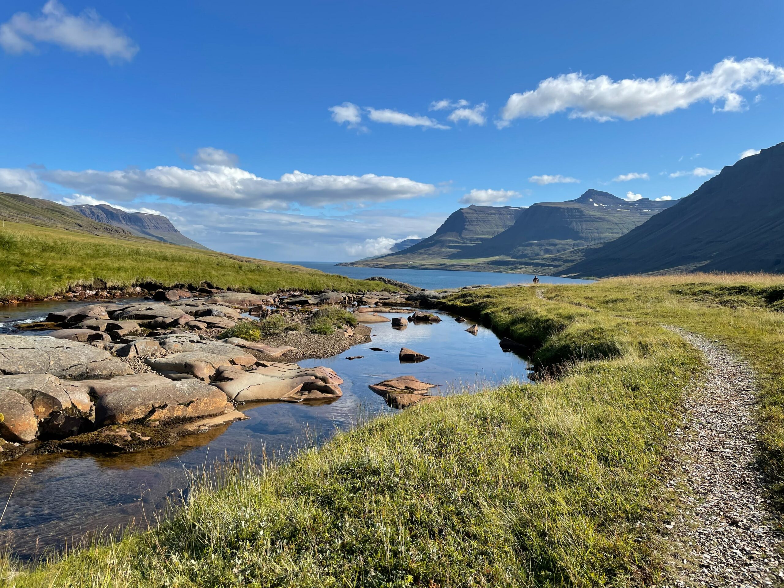
The area for consideration is around the town of Seyðisfjörður (25 km2, about 700 inhabitants). It is representative of other areas of the wider East fjords and elsewhere in Iceland. The small town is known for its many original early 19th-century timber houses and the picturesque setting of the lagoon.
Investigated climate extremes
Landslides have caused many fatalities and extensive damage in Iceland throughout history. Severe landslides occurred in Seyðisfjörður in December 2020, destroying several houses but there was no loss of life. The investigated dynamics are quite common in many other parts of the country.


Main needs
- To improve the monitoring and modelling of rainfall patterns that trigger these events.
- To improve dissemination of data and information to inhabitants.
- To permit a higher involvement of communities in risk identification.
- To improve the modelling of the different components of the risk (e.g., hazard by exploiting monitoring data and exposure by using open data).
Seyðisfjörður: Living with the Mountains
local wisdom
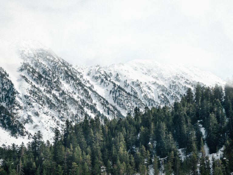
In the remote fjord town of Seyðisfjörður, nestled beneath steep mountains in East Iceland, life and landscape are deeply intertwined. Here, residents live with the constant reminder that nature’s beauty can also bring risk — from avalanches in winter to landslides after heavy rain.
Within The Human-Tech Nexus: Building a Safe Haven to Cope with Climate Extremes (The HuT), Icelandic researchers are developing guidelines for avalanche and landslide warnings, combining scientific data, monitoring technology, and local knowledge to strengthen preparedness in vulnerable communities.
The Seyðisfjörður Climate Story follows a family newly arrived from a warmer country as they discover what it means to live in a place shaped by snow and steep terrain. Through their eyes, readers learn about hazard maps, evacuation plans, and early-warning systems, as well as the vital role of community networks and local wisdom. From friendly police officers who deliver alerts door-to-door to seasoned residents who recognise subtle signs — such as brown water in mountain creeks signaling slope movement — safety here is built on both trust and knowledge.
Presented through an interactive ArcGIS StoryMap, the narrative blends drawings, maps, and real data to make complex risks understandable for all audiences. It teaches that resilience comes not only from sensors and forecasts, but from awareness, shared experience, and respect for nature’s rhythms.
In Seyðisfjörður, technology and tradition meet to create a safer coexistence with the mountains — proving that adaptation begins with understanding the land we call home.
To watch the interactive ArcGIS storymap, click here