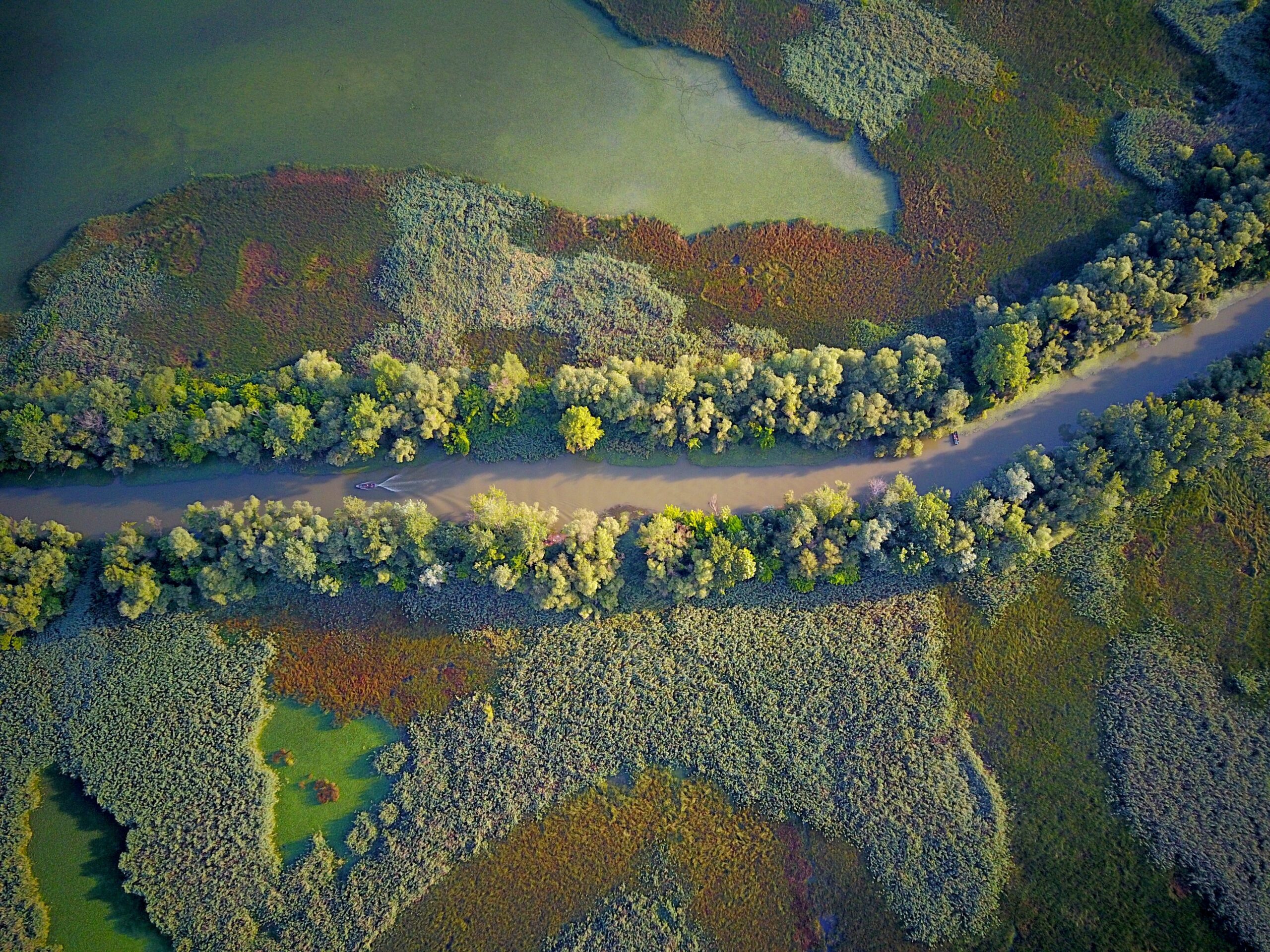

Almost all the area is included in the Great Plain, including most of Jász-Nagykun-Szolnok County, the southern part of the Pest and Heves Counties and the north-eastern corner of Bács- Kiskun County. As the area is low-lying, it has twice the national average of water management facilities (canals, embankments, sluices): 645.1 km of earth dykes; 105 pumping stations; 543 km of irrigation canals.
Investigated climate extremes
Almost 56% of the area is threatened by floods, but the frequency of events related to inland excess water, and droughts and water scarcity is also significant. There have been four notable floods in the last two decades, which have exceeded the standard flood levels (1999, 2000, 2006, 2010). Pluvial flooding by heavy rain represents a significant threat for many municipalities in the area.
Main needs
- To homogenise the assessment approaches for pluvial flood risk at the municipal level.
- To support decision-makers with tools agreed, scientifically robust and ready to use (e.g. VÍZ24 application).
- To have a clearer understanding about the economic viability of DRR solutions to be implemented.