
The Lithuanian capital, Vilnius, is home to about 20 percent of the country’s population (about 500,000 inhabitants). The medieval Old Town, a UNESCO World Heritage Site, is one of the largest and best preserved in Eastern Europe. The central part of Vilnius is situated in the Neris River valley. The main features of the urban fabric make the demonstrator representative for many other cities in the country.
Investigated climate extremes
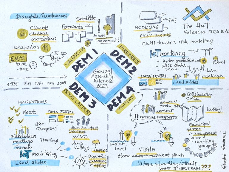
The city centre is increasingly prone to flooding, which has become more severe.
Two main causes have been identified: the drainage system is outdated for current needs, and it rains more and more heavily than before.

Main needs
- To improve the monitoring and the forecasting of heavy rainfall (short duration, high intensity) able to trigger pluvial flooding.
- To support the climate-proofing design of drainage networks accounting for uncertainties associated to the projections.
- To increase the awareness within the communities about urban flooding.
Common Knowledge, Common Action for a Resilient City
Street flooding in Vilnius: building shared understanding under climate extremes
The historic city of Vilnius, Lithuania’s capital and a UNESCO World Heritage Site, has become increasingly vulnerable to pluvial flooding in recent years. Extreme rainfall and an outdated drainage system have led to recurrent street floods, threatening the city’s infrastructure, heritage, and residents’ well-being.
Within The Human-Tech Nexus: Building a Safe Haven to Cope with Climate Extremes (The HuT), researchers from Vilnius University (VU) and the Lithuanian Hydro-Meteorological Survey (LHMS) are working to strengthen awareness, preparedness, and collaboration in the face of these growing risks. Their work supports improved urban water management, data-driven decision-making, and climate-proof planning that integrates Nature-Based Solutions (NbS) and green networks to absorb rainfall and mitigate heat.
The Vilnius story brings together climate researchers, data analysts, municipal experts, and planners who share one goal: transforming fragmented efforts into a coordinated approach to urban resilience. Initiatives include the development of urban meteorological networks, updates to the city’s Emergency Management Plan, and the introduction of new 3D modelling and drainage reconstruction projects by the municipal company Grinda.
Awareness-raising plays a central role. Through trainings, seminars, and the Vilnius Disaster Risk Reduction Forum—held during the city’s tenure as European Green Capital 2025—stakeholders from science, policy, and civil society co-created strategies to tackle flooding together.
By combining scientific insight with community dialogue, Vilnius is turning local knowledge into collective action—building a “common hut” where institutions, citizens, and researchers join forces for a climate-resilient future.
Read the full narrative at this link






Latest updates about Vilnius
All news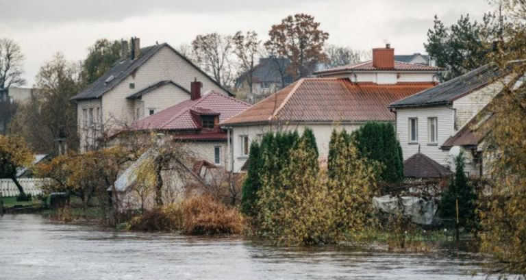 Project Update / February 29, 2024
A case study: DEM 4, Vilnius
A knowledge amplification process that helps municipalities against extreme climate events